Saturday 21 May 2011

Friday 20th May & Sat 21 May


I’ve arrived in Orkney.

I spent the morning doing some housekeeping before back tracking to the west end of the bay to Castletown to investigate the industrial archaeology of flagstones…

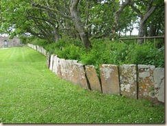
I’ve been noticing the local road and field boundaries (photo from Castle of Mey) either where there are flat flagstones (not very effective with stock)

005

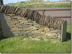
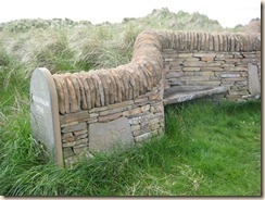
or stacked and topped (my definition).  I hadn’t been able to take photos of the latter but have two decorative examples:

002

004

There aren’t many hedges and barbed wire is used extensively, sadly quite often adorned with plastic bags flying in the wind

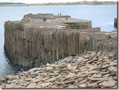
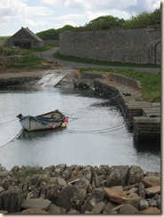
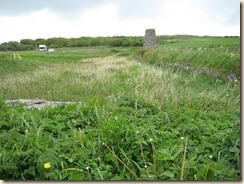
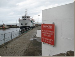
Castletown has a magnificent liitle harbour built of flagstones:

018

019

and flagstones were exported from here to London (the Strand, London Docks, Euston Station’s concourse (the one that was destroyed by redevelopment in the ‘60’s)), Bombay, Dunedin, Melbourne, Valparaiso.

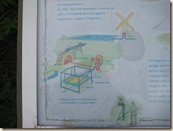
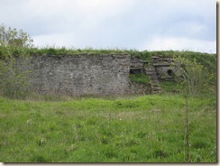
There was a mill which pumped water into a pond

022

021 

Pond and windmill from top of dam


011 Flagstone dam

The water from the pond ran a water driven saw which cut the stone.


010

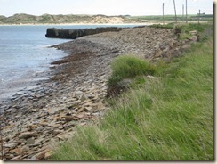
Beach of flagstone detritus, harbour mole, beach behind

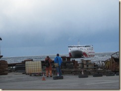
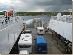
Then I moved back east to Gills Bay which is just east of the Castle of Mey, for the crossing to Saint Margaret’s Hope, South Ronaldsay, Orkney.  I was well organised – had my Quells to take – recalling the unpleasantness the last time I crossed the Pentland Firth to Stromness  – and was feeling relaxed -  until they asked me to reverse on to the ship.  And there was nobody on the gangway to wave their arms around to help me.  As I was clearly going to take a lot of time doing this, one of the non-arm waving loaders came to do it for me. Annoyingly there was more than enough room for me to have turned around on deck.  However it could have been worse, if I’d had a caravan and had to reverse with that on to the vessel.

026

029 Leaving the mainland

Fortunately I wrapped up well and took rain gear as there was no shelter on the “sun deck”.  I saw another puffin on the sea.

032

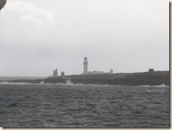
Selection of lighthouses on the abandoned island of Swona.

038

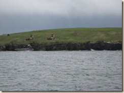
Scapa flow defence on South Ronaldsay

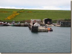
040 Saint Margaret’s Hope

041

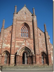
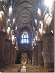
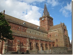
St Magnus Cathedral: medieval viking church which took over 300 years to construct.

042

051

St Magnus Cathedral was in the Arch Diocese of Trondheim until 1486

Am staying in a municipal campsite just on the outskirts of Kirkwall, which isn’t big.  It has very smart showers but no where for washing up and laundry.  The Leisure centre to which it is attached has wifi so will go there to send all these off rather than splitting them up….

So this includes Saturday 21st, a day mostly spent trying to “publish” all this and, over a pint (or two) succeeding. I also met my cousin and his wife on their way to Westray: I may go there on foot, leaving the trusty Van in the camp site in Kirkwall…

Thursday 19th May

Back to the Tourist Office in Thurso, decide to cross to Orkney from Gills Bay, a lot cheaper and shorter crossing than from Scrabster.  I’d been to Thurso in the late '90’s but it wasn’t how I remembered it; I couldn’t work out the place I had in my mine.  It is not a very photogenic town.

010 Thurso harbour

011 

Ignore the ugly ground floor; the design of the first floor and the roof is great.

I then went to the RSPB visitor centre at Forsinard passing Dounereay on the way – reminded me of Sellafield, same generations of Atomic Power Station and, also very important to the local economy

012

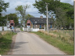
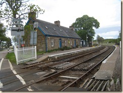
It was a long way to Forsinard, on an A road with passing places, I will experience a lot more of these as the summer progresses.  The visitor centre is in the station building, great use of the building

021

013

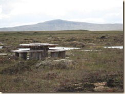
017 The bog walk

018 Bog bean and a bee

024 

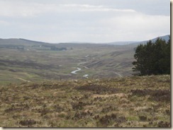
River, road and, in distance rail

I did the short bog walk and then a longer walk through woods.  Saw very little until the last 1/4 of mile when suddenly there were red deer and loads of birds.

Wednesday 18th May

(Sat 20th again – it works via the pub’s wifi, so I’ll have to stay a bit longer and hope to catch up!)

003 

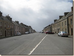
Lybster high street- “a notable example of a fishing village created to provide a livelihood for the victims of the evictions”.

There are a lot of settlements along this coast with the Scandinavian suffix “ster” which, I think, means “homestead”


002 

Lybster harbour  which over a century ago provideda base for 100 fishing vessels

005 

Wick’s Wetherspoon’s Alexander Bain public house.  He came from Thurso and invented the electrical clock and the electric telegraph

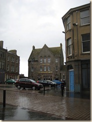
009 Development in Thurso moves a’pace

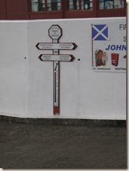
013 The John O’Groats signpost

015 The New Zealand factor

016 John O’Groats harbour

019 What happens in heavy seas

025 Local field boundaries

027 From inland

023

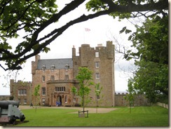
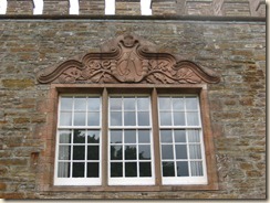
The Dining Room window (no photographs allowed inside).  Observations from my visit to the Castle of Mey: the Queen Mother never threw anything away: she wore the same raincoat when she came to stay for 40 years, the carpet in the dining room was threadbare where the corgis sat but she wouldn’t throw it away because Queen Mary gave it to her.  The corgis got fed before the guests were given their tea.  At dinner one had to speak to one’s left hand neighbour for the first two courses and the right hand neighbour for the pudding.  No conversation across the table permitted.  No lunch was served indoors – always picnics outdoors.  No double beds, all bedrooms had 3/4 beds, each guest given own room.  Only two en-suite bedrooms, guests have to traipse along the corridor – although to be fair she fitted out the castle in the mid ‘50s.  Charles now stays there and continues to make no changes.

028 Orkney from Castle of Mey

021 View from shore side

041 

From Castle of Mey garden gazebo

042 

Rainbow cabbage at Castle of Mey

043 

A harbour between Wick and Thurso

046 

Dunnet Head is more northerly than John O’Groats

048

Two puffins – really.  Very excited, first time I’ve seen a puffin

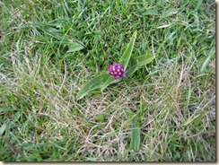
049 An orchid – Northern Marsh?

050 

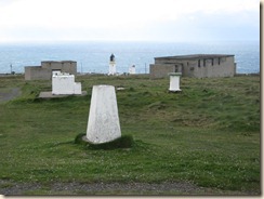
There is a 360 degrees viewpoint at Dunnet Head – the buildings are from the army presence in the war

051 

Calm waters in the Pentland Firth

Next stop Thurso – the Tourist Information Office, arrived at 5.10 to find it closed, no matter will go back tomorrow to get info re the crossings to Orkney.  No matter, can do it tomorrow.

Staying in the Dunnet Bay camp site in a gale force wind.  It is 22.18 and still dusk; couldn’t read a book by the light but can work on the lap top.

Tuesday 17th May

(Saturday 20th – I’m in a pub with free wifi – well that’s my excuse! – so fingers crossed this might work…)

004 Bridge over Cromarty Firth

009 

Former Kirk, now Tarbet museum at Portmahomack

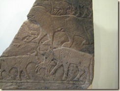
007 Pictish non-twirls

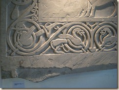
008 Pictish twirls

010 Portmahomack water supply

012 

Portmahomack,very modest built environment compared with Cromarty

013 Portmahomack harbour

One of the magical things about Portmahomack is that the bay looks as if it is landlocked – wherever you look across the bay there is land as a back drop.

Moved on north-ish, to Dornoch

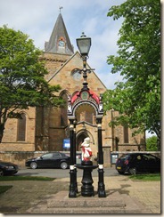
014 and, lo, the same water supply structure as at Portmahomack is also outside Dornoch Cathedral.

015 Crocodiles inside the structure

019 

Guy Richie and Madonna married here….

Didn’t warm to Dornoch but, in retrospect, this was the last posh place on the way up the East Coast.

I had decided that I would visit Dunrobin Castle – mainly because they purported to have a great display of Pictish stones.

027 Dunrobin Castle and the Van

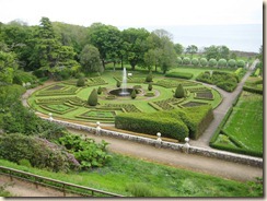
I arrived at 4.10 and was told the castle was closed but that I could look at the gardens, at no charge.  There is a “wow” when you look over the gardens but that is the end of the “wow”

020 

021

023

025

The Pictish museum building was closed.  The garden looked good from afar and I stayed afar.  Dunrobin Castle was built by the Earls of Sutherland.  They played a leading role in the Highland Clearances.

On to Helmsdale to where families displaced by the Clearances moved.  A harbour village, with a railway station (financed by the Duke of Sutherland).  A great number of the displaced crofters emigrated to New Zealand.


028 The A9 at Helmsdale

029 The Helmsdale harbour

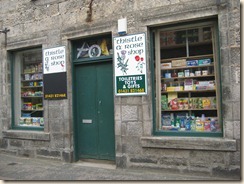
030 A Helmsdale shop

Once north of Helmsdale I was running out of options of places to stay – my ancient Shell guide describes this stretch of coast “the extensive clearances left an emptiness and desolation tat still inhabits this landscape I thought I might end up in Thurso.  As I was grinding slowly up the hill going up out of Dunbeath when I saw a camp site sign I was going slowly enough to turn left.

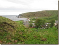
001 Dunbeath

and a map:

009